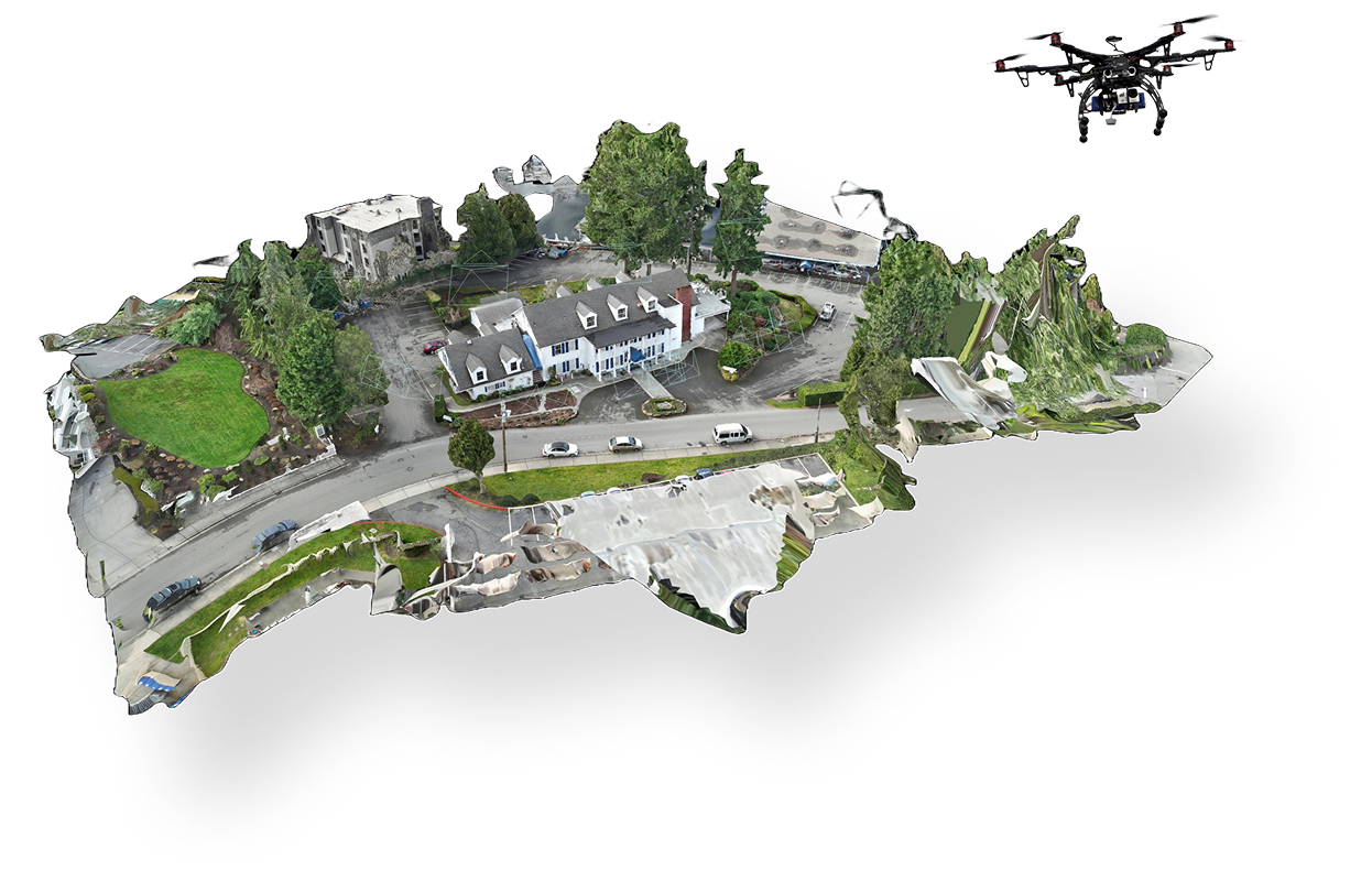
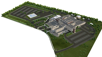
3D Site Mapping
Generate accurate, georeferenced 3D models and digital twins of your assets for comprehensive analysis and planning.
Dronex365 is the leading platform for automated inspections, precise 3D mapping, and real-time data analysis.
Request for DemoOur platform integrates state-of-the-art drone technology with an intelligent dashboard to deliver actionable insights.
Generate accurate, georeferenced 3D models and digital twins of your assets for comprehensive analysis and planning.
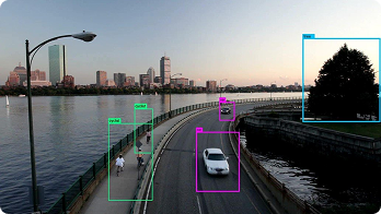
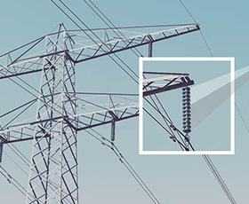
Utilize high‑resolution imagery and thermal sensors to identify defects, damage, and anomalies with unmatched precision.
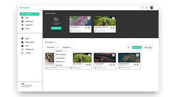
Access all your data, analytics, and reports in one user‑friendly platform. Track progress, manage projects, and make data‑driven decisions.
From construction to agriculture, we empower businesses across various sectors with aerial intelligence.
.png)
.png)
.png)
.png)
.png)
.png)
.png)
With the first fully integrated drone surveying workflow that combines high-accuracy drones, cloud-based software, and dronex365, you can simplify the process of capturing data.
Request for Demo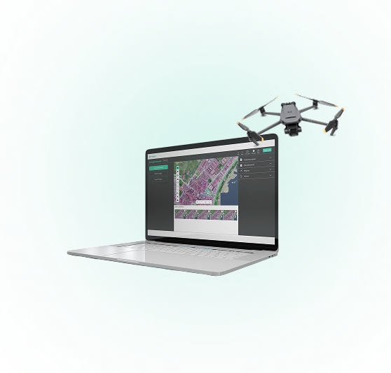
Our streamlined process makes aerial data collection and analysis effortless.
Our automated drones capture high-resolution imagery and data from your site with precision.
Our dashboard processes the data, highlights key insights, and generates detailed reports automatically.
Use the actionable intelligence to make informed decisions and optimize your business operations.
We go beyond simple data collection. Our platform is designed to deliver a comprehensive, end-to-end solution.
Our drones use advanced GPS and sensor technology to ensure every data point is precise and reliable.
Automate repetitive tasks, reduce manual labor, and complete inspections in a fraction of the time.
We turn raw data into smart insights, helping you identify trends and make business decisions.